PHOENIX – We continue to track active weather across the state this week.
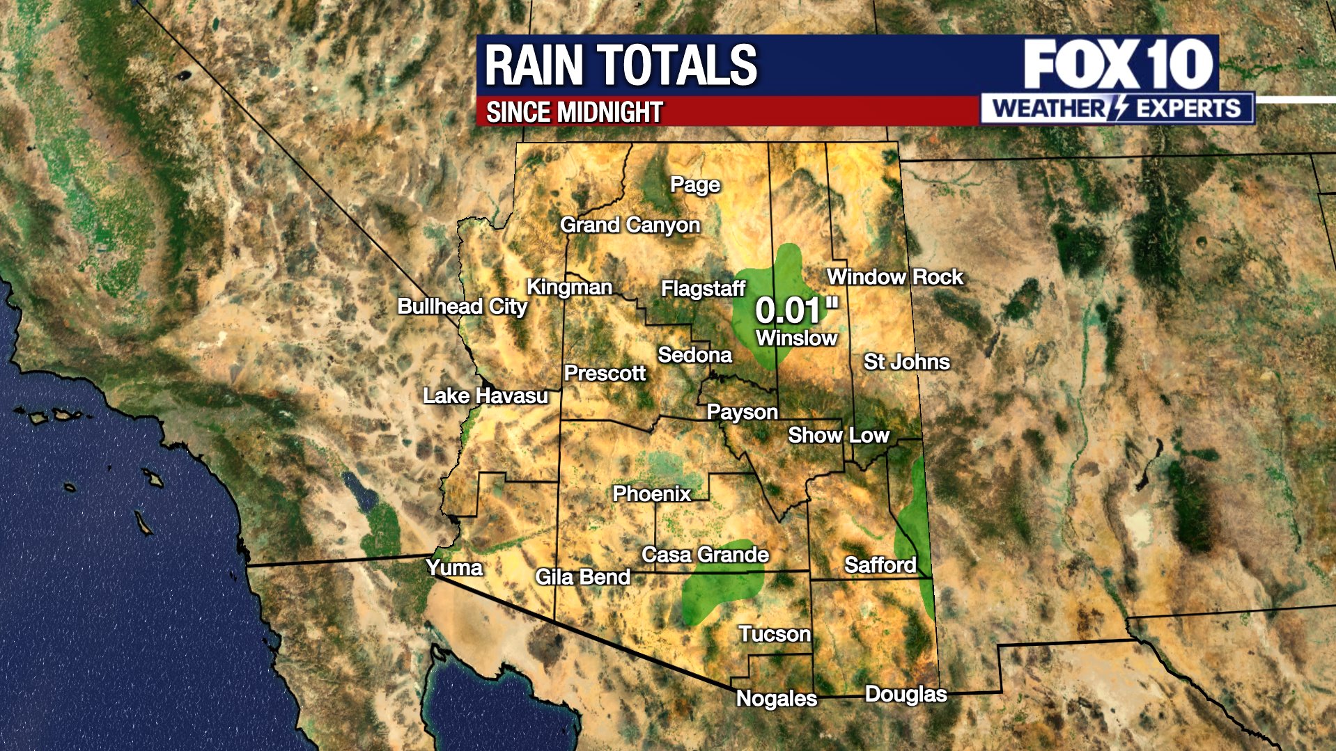
Our first round of wet weather brought 0.1 to 0.5″ of rain for parts of the Valley and neighboring foothills. In the High Country, Flagstaff picked up snow totals between 1-3.5″ of snow.
While the rest of Wednesday remained dry and comfortable, conditions shift as our next storm moves in Thursday.
Thursday late morning through Friday early morning
What We Can Expect:
There is a Winter Storm Warning in place for Thursday at noon through Friday morning, above 6,000 feet. The system will come from the northwest. It is colder and stronger, so it is expected to be the most impactful of the week.
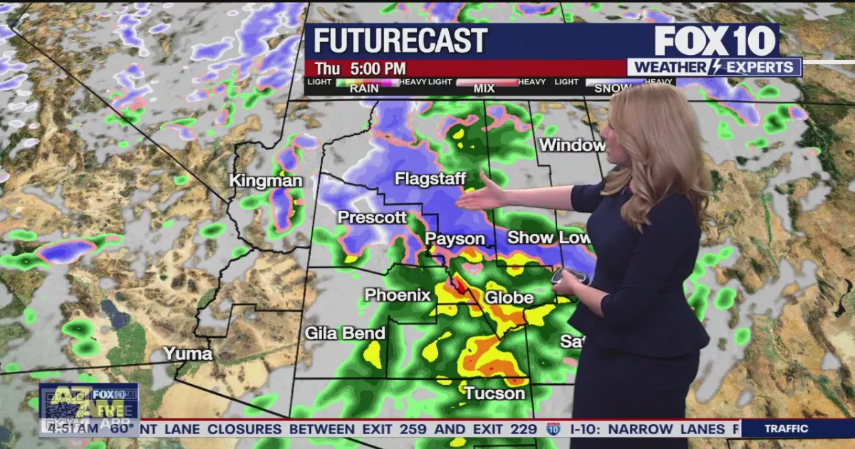
Snow will fall over the northern Arizona mountains with rain in the Valley and lower elevations. The heaviest precipitation starts west and spreads east through the afternoon. The afternoon into the night will be the heaviest period of precipitation, including snow over northern Arizona. It is likely that the evening commute will be messy in the Valley and potentially dangerous in the mountains.
In Phoenix, the heaviest rain falls between 1 p.m. and 4 p.m. In Flagstaff, the heaviest snow falls between 1 p.m. and 6 p.m., but on and off steady to heavy snow showers continue into the night. Drops in visibility, quickly deteriorating road conditions, and snow-packed streets are possible. The snow level may drop through the night, into the foothills north/east of the Valley. Snow totals of 8-12″ in Flagstaff, potentially another 1-1.5 feet of snow for Sunrise and Arizona Snowbowl, Pinetop-Lakeside with 6-8″ and 2-4″ is possible for Payson and Prescott.
It will be windy throughout the day, too. A wind advisory is in effect for much of the western and southern parts of the state, including Maricopa County. Gusts 40-50 mph in northern Arizona and 30-40 mph in Phoenix. Blowing snow in the evening may cause issues, and drivers should consider adjusting plans.
Friday night through Saturday morning
This round is less certain, since it’s still several days out. However, it appears another passage of moisture from the northwest will bring a quick jolt of rain/snow showers. The best chance will be in the north/east parts of the state, but the Valley has a 30% chance of showers late Friday into early Saturday morning.
This will be fast-moving, lighter, and not as impactful – but since it’ll be falling on top of Thursday’s precipitation, it may cause issues Saturday morning. Totals are not forecast to be large, but a few additional inches of snow may fall at the higher elevations.
The weekend will dry out with a return of sunshine and warming temperatures. Highs jump from the upper 50s in Phoenix on Friday to the upper 60s on Saturday and middle 70s by Sunday.
You can always check the latest weather conditions by visiting the FOX 10 Phoenix weather page, or download the Free FOX 10 Weather app, which is available on Apple iOS and Android.
Scroll down this page for satellite and radar, day planner, records, current temperatures, 10-day forecast, forecast highs, and recent rainfall totals, plus live video feeds.


Road Conditions
- Call 511 anywhere in Arizona or 1-888-411-ROAD (7623)
- az511.com
Weather ForecastPhoenixNewsAlerts