What we know:
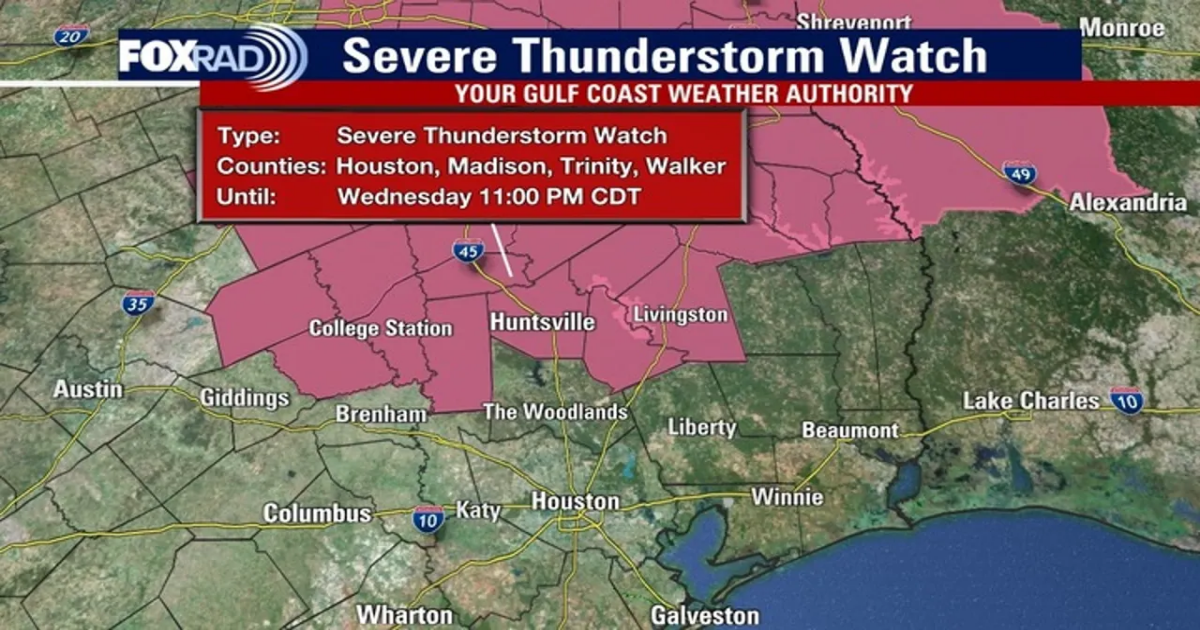
HOUSTON – Northern counties, including Grimes, Walker, San Jacinto, Polk, and Trinity, are under a SEVERE THUNDERSTORM WATCH until 11:00pm. Be on the lookout for a few fast-moving storms north of Houston this evening. The most likely spots include College Station, Huntsville, and around Lake Livingston.
The storms will form quickly and move quickly, so they’ll be short-lived, so keep an eye on your Fox 26 Weather App after 7pm or so. Most of the Houston metro area will see no rain.
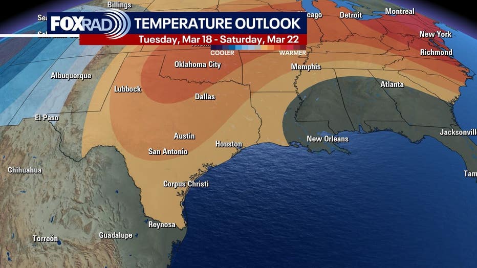
Record heat possible tomorrow
What’s next:
Thursday’s record high is 88° and we are currently forecasting a record. Humidity does look lower on a southwest breeze, so sunshine will warm us quickly, and we could see a repeat on Friday with highs in the mid 80s.
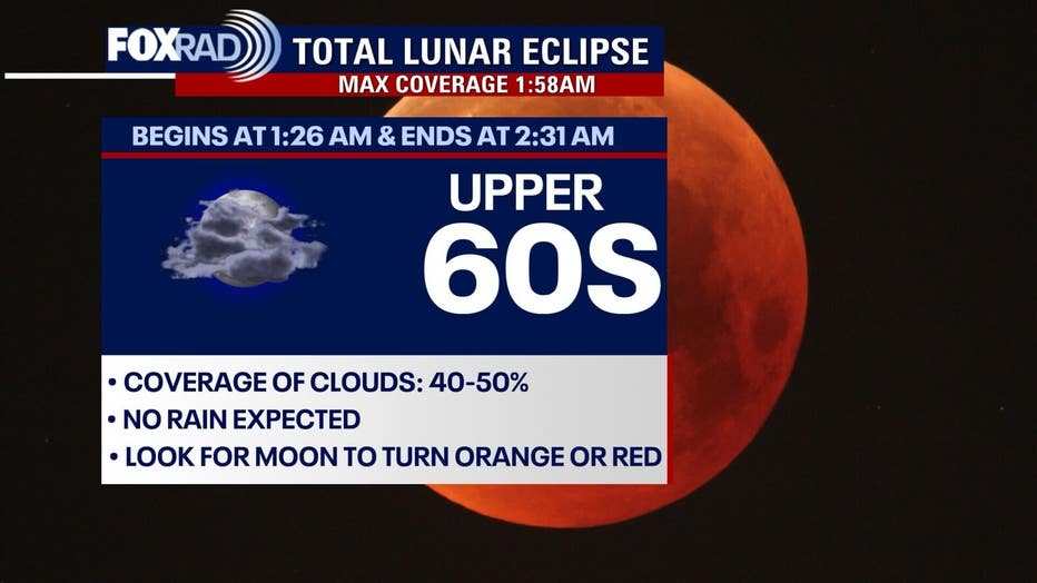
Partly cloudy night for lunar eclipse
Big picture view:
Our total lunar eclipse takes place late Thursday night through very early Friday (approximately 1:30am – 2:30am), but for now, cloud cover looks to be around 50%. So, it may be difficult to see the faint light from the shadowed moon through breaks in the clouds.
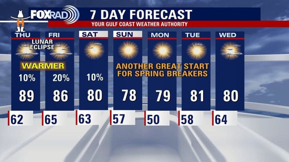
Weekend Outlook
What’s next:
Looking ahead, the weekend forecast appears nice, with highs near 80 degrees and mostly sunny skies. While a slight chance of scattered showers could linger through early Saturday, most areas should remain dry, making it great for more rodeo time.
Get news, weather and so much more on the new FOX LOCAL app
Allergy Season:
Oak pollen is on the rise and will be an issue for allergy sufferers for the next few weeks. Grass pollen is also likely to rise this week and next.
Stay up-to-date on the latest weather where you live by downloading the FREE FOX Local app on your phone and smart TV.
The Source: Your Gulf Coast Weather Authority