(WSPA) – Thunderstorms should give way to a clear, if windy, day in the Upstate.
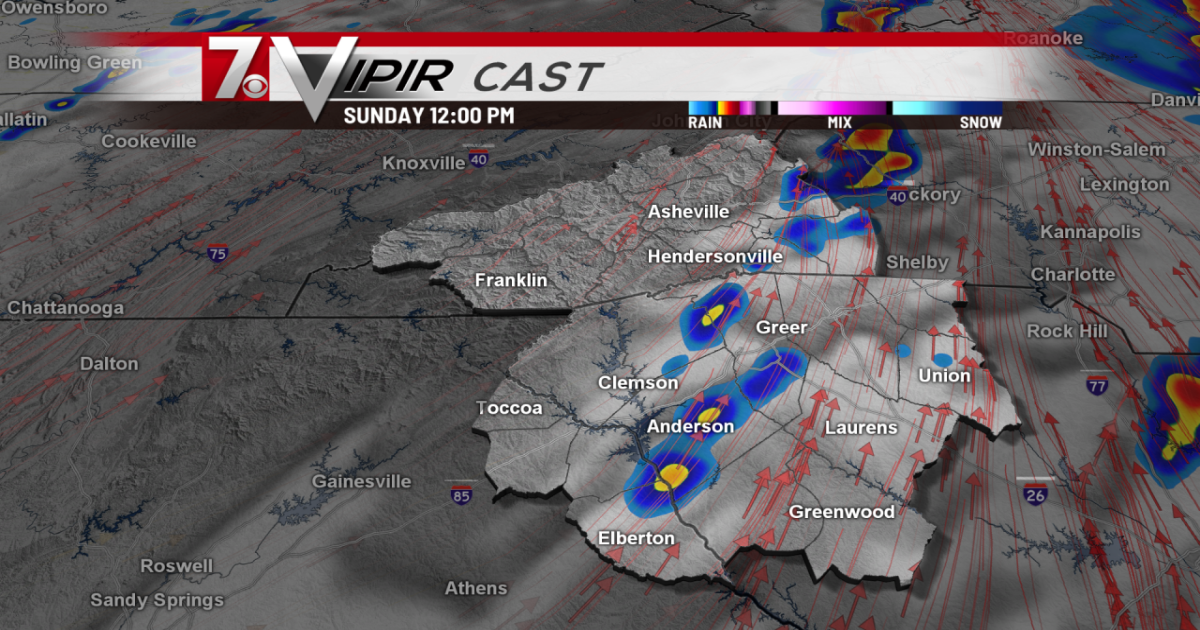
Thunderstorms which rolled over the Upstate and western North Carolina early Sunday morning are expected to move out of the area mid-morning, leaving behind only gusts of wind in parts of the Upstate and mountains.

The U.S. National Weather Service said there is still a chance of severe thunderstorms east of Spartanburg County towards Rock Hill.
A gusty wind advisory has been issued for the Upstate and North Carolina mountains and foothills until 2 p.m. Sunday.

Wind gusts can reach speeds of up to 32 miles per hour, enough to cause trees to noticeably sway and making walking inconvenient.
While unlikely, the National Weather Service there is still a risk of isolated tornadoes appearing in the area.
As the afternoon rolls on, Sunday is expected to be warm with spots of sunshine and temperatures reaching 74 degrees in the Upstate and 67 in the mountains.

You can view up-to-date weather forecasts and get key alerts and updates by clicking here.
Copyright 2025 Nexstar Media Inc. All rights reserved. This material may not be published, broadcast, rewritten, or redistributed.