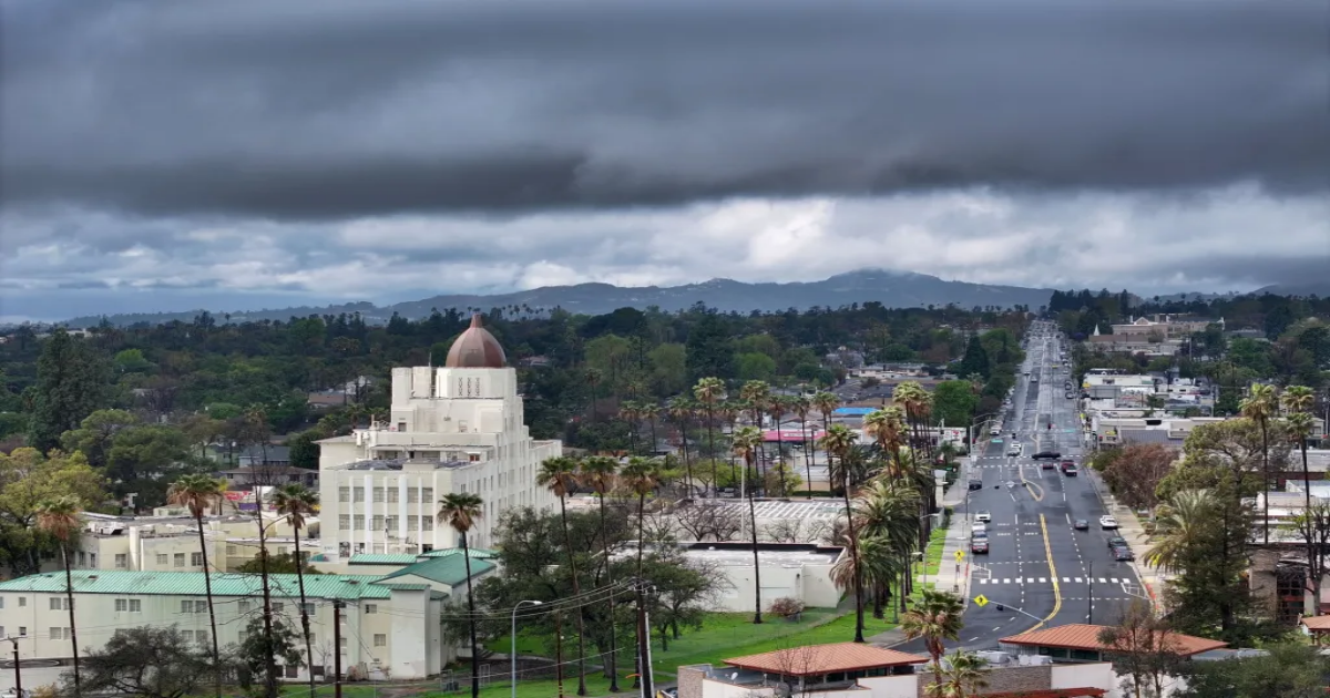
A strong storm moving through the region brought debris flows, downed wires and a possible tornado to parts of Southern California by Thursday morning, March 13.
By daybreak, Pico Rivera was a focus for the National Weather Service — the agency prepared to send a team to survey any damage after receiving reports of a possible tornado that had formed about 3:15 a.m.
Downed power lines were seen near Holbrook Street and Passons Boulevard in a residential neighborhood in that city, Los Angeles County Fire Department spokesman Jonathan Torres said.
Mud and debris flows had impacted Pacific Coast Highway, with Caltrans trucks attempting to shovel mud to the shoulder.
Smaller debris flows hit Altadena and Sierra Madre, near the Eaton fire burn scar.
Strong storms were expected to move in across the region through Friday, bringing flooding risks — particularly in burn scars — as well as heavy snow in the mountains.
Some road closures and evacuations were announced in anticipation of possible flooding.
Pacific Coast Highway closed at noon Wednesday, March 12, between Chautauqua Boulevard and Carbon Beach Terrace until further notice because of the risk of mud and debris flow in burn scar areas, according to Caltrans. Highway 330 outside of San Bernardino was to close beginning at 2 a.m. Thursday, March 13, because of potential debris flows from the Line fire burn scar, Caltrans said.
Los Angeles police distributed address-specific evacuation orders Tuesday to residents in burn areas of the Palisades, Sunset and Hurst fires, which are expected to be “susceptible to heavy rain,” the agency said.
Los Angeles County
Thunderstorms are possible across the area through Thursday afternoon, March 13, potentially bringing flooding, gusty winds, heavy downpours, hail and even a small tornado.
Meteorologists expected coastal areas to receive one to two inches, while mountains and foothill community could see two to four inches of rain, National Weather Service meteorologist Rose Schoenfeld said.
Schoenfeld said there’s a 30% to 50% chance of impact from major flooding in burn scars, with concerns for mudslides, road erosion, debris flows and cars getting stuck in mud.
“Prepare for power outages, roadway blockages that will make it difficult to travel in and out of that area,” Schoenfeld said. “We’d urge people to avoid traveling during the peaks of rain.”
Light rain will continue Friday, with totals remaining under a quarter of an inch.
Temperatures will remain cool through the rest of the week, with highs in the mid-50s across the county through Friday. Highs should warm up a bit over the weekend but will likely remain cooler than normal.
The American Red Cross Los Angeles Region established emergency shelters for those affected by rain-caused evacuation orders, at 1835 Stoner Ave in Los Angeles, and at 611 E. Sierra Madre Blvd. in Sierra Madre.
Inland Empire and Orange County
The heaviest precipitation was expected to hit the area between about 3 a.m. and 9 a.m. Thursday morning, bringing heavy rain and occasional thunder, according to National Weather Service San Diego meteorologist Paul Steward.
Rain totals will vary, with some parts of Riverside seeing about half an inch to an inch of rain, while areas like Lake Elsinore, Temecula and Hemet could see an inch to an inch and a half of rain. In Orange County, areas like Anaheim, Irvine and San Clemente could see between an inch and an inch and a half of rain, and Huntington Beach could see around half an inch to an inch at most.
Coastal areas will see lower totals because strong westerly winds will push the rain inland toward the Santa Ana Mountains. Communities around the mountains in Orange County and the Inland Empire could see between two and two and a half inches.
“If you’re planning to travel or commute to work in the morning, just be prepared,” Steward said. “It can be pretty messy out there.”
A flood watch is also in place for much of Orange County and the Inland Empire, with officials paying special attention to recent burn scar areas.
In Orange County, officials issued evacuation warnings for areas in the Trabuco Canyon, Hot Springs Canyon, Bell Canyon, Long Canyon and Modjeska Canyon due to possible debris flows along or near the Airport Fire burn scar.
Light rain will continue Friday through Saturday morning, bringing about a tenth of an inch at most in some areas, Steward said.
Temperatures will, in the next few days, offer highs in the mid- to low-50s across Orange County and the Inland Empire with windy conditions making it feel colder. Around the Santa Ana Mountains, highs could drop as low as 37 degrees.
The mountains
A winter weather advisory was in place through 5 a.m. Friday for the areas of Gorman, Frazier Park, Lebec, Tehachapi and Grapevine. Snow, 2 to 5 inches, was expected above 4,000 feet.
Up to 15 inches was expected at higher elevations with wind gusts as high as 55 mph.
For the San Gabriel Mountains and the 5 Freeway and 14 Freeway corridors, a winter storm warning was in effect through 5 a.m. Saturday.
As much as 12 to 24 inches of snow could fall above 6,500 feet elevation, with lower totals at lower elevations, including up to an inch as low as 3,000 feet. Winds could gust as high as 50 mph, the Weather Service predicted.
For the San Bernardino County and Riverside County mountains, a winter storm warning was in effect through 11 p.m. Thursday.
“Travel could be very difficult to impossible,” the NWS said, with strong winds potentially causing tree damage.
Snowfall of 1 to 3 inches was expected at 4,000 to 5,000 feet, 6 to 12 inches at 5,500 to 6,500 feet and 12 to 24 inches above 6,500.
City News Service contributed to this report.
Originally Published: March 12, 2025 at 5:50 PM PDT